
Hiking Bláhnjúkur Volcano: Trekking Iceland’s Stunning Blue Peak in Landmannalaugar
Bláhnjúkur, the striking blue-hued cinder cone volcano in Iceland’s Landmannalaugar region, offers a challenging yet rewarding moderate trek. This guide covers the geological background, detailed terrain and hiking experience, routes, permits, logistics, and accommodation options for adventurers seeking to explore this unique volcanic landscape.
Quick Volcano Snapshot
| Attribute | Value |
|---|---|
| Volcano type | Cinder cone |
| Elevation | 943 meters |
| Location | Landmannalaugar, Central Highlands, Iceland |
| Activity status | Dormant |
| Trekking difficulty | Moderate |
| Typical trek duration | 2.5 to 3 hours (loop hike) |
| Altitude gain | 383 meters |
| Terrain type | Volcanic ash slopes, lava fields, gravel, clay |
| Best season | June to September |
| Temperature range | 5°C to 15°C (summer months) |
| Permit requirement | No permit required |
The Experience of Hiking Bláhnjúkur Volcano
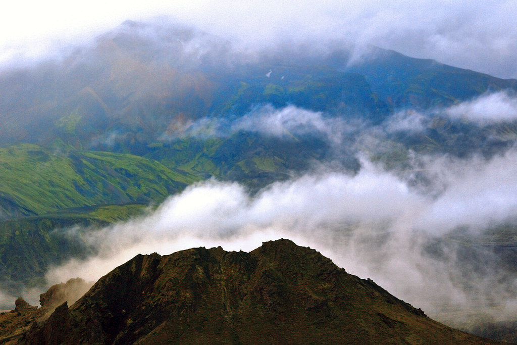
Approaching Bláhnjúkur, the striking blue peak of Landmannalaugar, is like stepping into a surreal volcanic canvas. The vivid blue-green volcanic ash contrasts sharply with the surrounding rhyolite mountains, creating a landscape that feels otherworldly. As you ascend the steep slopes, the raw power of Iceland’s volcanic forces becomes palpable. The barren, ash-covered terrain gives way to sweeping views of lava fields and distant glaciers. Reaching the summit, the panorama unfolds in all directions, revealing a dramatic interplay of colors and textures that only a volcanic landscape can offer. The emotional rush of standing atop this dormant cinder cone, surrounded by the vastness of Iceland’s highlands, is unforgettable.
Geological Background of Bláhnjúkur Volcano
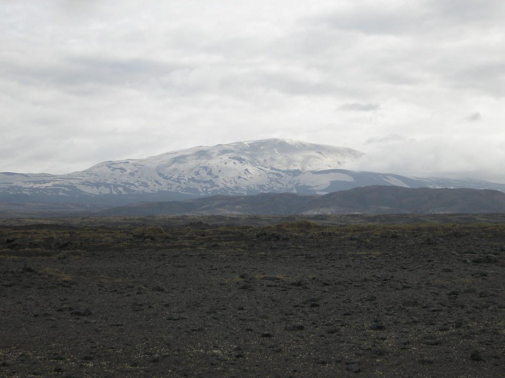
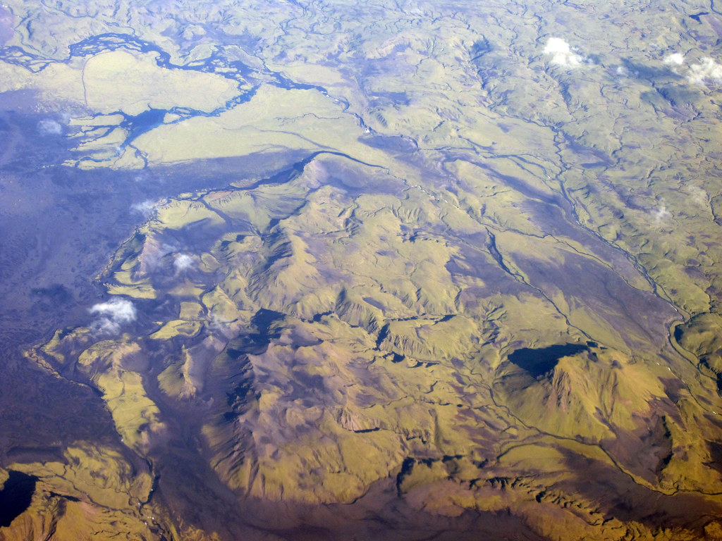
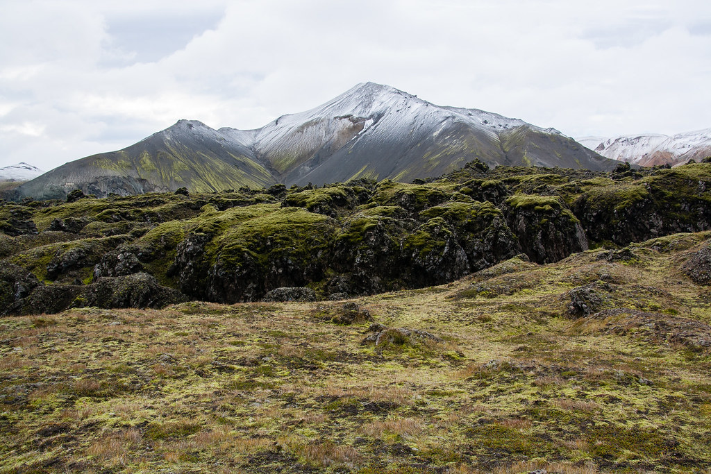
Bláhnjúkur is a cinder cone volcano located in the Landmannalaugar region of Iceland’s Central Highlands. It formed during the Ice Age as part of the extensive Torfajökull volcanic system. The volcano’s distinctive blue-black coloration comes from volcanic ash and lava flows rich in resinite, a rhyolite rock formed during subglacial eruptions. This unique mineral composition gives Bláhnjúkur its signature blue-green hues, setting it apart from the neighboring red-hued Brennisteinsalda volcano. The volcanic landscape here is shaped by a combination of ancient eruptions and more recent lava flows, including the Laugahraun lava field formed in 1477. The area features fumaroles, steam vents, and sulfur deposits, reflecting its volcanic origins. The geology of Bláhnjúkur offers a fascinating glimpse into Iceland’s dynamic volcanic history and the interplay between fire and ice.
Terrain and Hiking Experience on Bláhnjúkur
The hike to Bláhnjúkur is a moderately challenging trek that demands a good level of fitness and preparation. The trail begins at the Landmannalaugar car park, immediately immersing hikers in a landscape of vibrant rhyolite mountains and the expansive Laugahraun lava field. The terrain is varied, consisting of volcanic ash slopes, loose gravel, clay, and patches of lava rock. The initial ascent is steep and can be slippery, especially on the volcanic ash and clay surfaces, requiring sturdy hiking boots and the use of trekking poles for stability. Hikers often choose the eastern route for the ascent, which is more direct but steeper, while the western path through Grænagil Canyon offers a gentler climb. The volcanic ash that forms the trail is fine and powdery, sometimes shifting underfoot, which adds to the physical challenge. Weather conditions in the highlands can change rapidly, with strong winds and temperature fluctuations, so layered clothing and windproof gear are essential. The trail is well-marked but demands attention to footing, particularly on the descent towards Brennisteinsalda, where slippery sections are common. Despite the challenges, the hike rewards trekkers with spectacular views of the surrounding volcanic landscape, including the contrasting colors of neighboring peaks and the distant sight of up to five glaciers. The volcanic terrain’s rugged beauty, combined with the physical exertion of the climb, creates a deeply immersive hiking experience that connects adventurers with Iceland’s raw geological forces.
What Makes the Bláhnjúkur Trek Unique
Bláhnjúkur stands out for its vivid blue-green volcanic ash, a rare coloration caused by its unique rhyolite and resinite composition. This striking color palette contrasts dramatically with the fiery reds and ochres of nearby Brennisteinsalda, creating a surreal and photogenic landscape. The volcano’s location within Landmannalaugar, a region famed for its geothermal activity and colorful rhyolite mountains, adds to the trek’s appeal. The panoramic summit views include multiple glaciers and expansive lava fields, offering a diverse volcanic vista. The combination of steep ascents, varied terrain, and the opportunity to explore a loop trail that includes the neighboring Brennisteinsalda volcano makes this trek a distinctive adventure. Additionally, the presence of natural hot springs nearby provides a perfect way to relax after the hike, enhancing the overall experience.
Summit and Crater Experience on Bláhnjúkur
Reaching the summit of Bláhnjúkur is a moment of awe and exhilaration. The panoramic views stretch across the Landmannalaugar region, revealing a patchwork of colorful rhyolite peaks, vast lava fields, and distant glaciers. The summit’s volcanic ash and rock create a stark, almost alien environment, where the wind carries the faint scent of sulfur from nearby fumaroles. The crater itself is a reminder of the volcano’s fiery past, though it is dormant today. From this vantage point, hikers can appreciate the scale of Iceland’s volcanic forces and the dynamic landscape shaped by millennia of eruptions and glacial activity. The summit offers a quiet, contemplative space to absorb the raw power and beauty of the highlands.
Best Time to Trek Bláhnjúkur Volcano
The optimal time to hike Bláhnjúkur is during Iceland’s summer months, from June to September, when the highland roads are open and weather conditions are most favorable. Outside this window, access is limited due to snow and road closures. Summer offers milder temperatures, typically ranging from 5°C to 15°C, and longer daylight hours, allowing for flexible trekking schedules. However, weather in the highlands remains unpredictable, with sudden changes including strong winds and rain, so hikers should be prepared for variable conditions. Early morning starts are recommended to avoid afternoon winds and to enjoy clearer views. It is important to monitor volcanic activity reports and weather forecasts before planning the trek, although Bláhnjúkur is dormant and poses minimal volcanic risk.
Routes and Trail Options for Bláhnjúkur
The Bláhnjúkur hike is typically completed as a loop trail of approximately 6.5 kilometers, taking around 2.5 to 3 hours. The trailhead starts at the Landmannalaugar car park. Hikers can choose to ascend via the eastern path, which is steeper and more direct, offering challenging climbs and rewarding summit views. Alternatively, the western route through Grænagil Canyon provides a gentler ascent with less steep sections, suitable for those preferring a less strenuous climb. Most hikers ascend from the east to enjoy the descent towards Brennisteinsalda, allowing them to extend the hike by exploring the neighboring red volcano before returning to the car park. This loop showcases diverse volcanic features, including lava fields, ash slopes, and colorful rhyolite formations. Guided tours often incorporate Bláhnjúkur as part of multi-day treks in the Landmannalaugar and Fjallabak Nature Reserve, combining it with the famous Laugavegur Trail. Self-guided hikers should be well-prepared with maps and GPS, as weather can affect trail visibility. The trail is well-marked but requires caution on slippery sections, especially after rain.
Difficulty Assessment of the Bláhnjúkur Trek
Bláhnjúkur is classified as a moderate volcano trek. The primary challenges include steep ascents on loose volcanic ash and gravel, slippery clay sections, and exposure to variable highland weather conditions. The altitude gain of approximately 383 meters over a relatively short distance demands good cardiovascular fitness and sure-footedness. While no technical climbing skills are required, hikers should be comfortable with uneven terrain and steep slopes. The trail is suitable for experienced hikers and fit beginners prepared for a physically demanding hike. Proper footwear with good grip and trekking poles are highly recommended to navigate slippery and unstable surfaces safely. Altitude effects are minimal due to the modest elevation, but wind chill can increase perceived difficulty. Overall, the trek offers a rewarding challenge without technical mountaineering requirements.
Essential Gear for Hiking Bláhnjúkur Volcano
Successful hiking on Bláhnjúkur requires gear suited to volcanic terrain and Icelandic highland weather. Essential items include sturdy hiking boots with excellent grip to handle loose ash and slippery clay. Trekking poles provide stability on steep and uneven sections. Layered clothing is crucial to adapt to rapid temperature changes and strong winds; a windproof and waterproof jacket is mandatory. A hat and gloves are recommended for cooler conditions. Carry sufficient water and high-energy snacks, as there are no facilities along the trail. A headlamp is useful for early starts or late finishes during shorter daylight periods. Sun protection, including sunscreen and sunglasses, is important due to high UV exposure at altitude and reflective volcanic surfaces. A map, compass, or GPS device ensures safe navigation. While volcanic gases are minimal at this dormant volcano, sensitive individuals may consider a lightweight mask. Finally, a small first aid kit and emergency whistle enhance safety.
Safety and Volcanic Hazards on Bláhnjúkur
Bláhnjúkur is a dormant volcano with no recent eruptive activity, minimizing immediate volcanic hazards. However, hikers should remain aware of general highland risks. The terrain includes steep, loose volcanic ash and gravel slopes that can be slippery, increasing the risk of falls. Weather conditions can change rapidly, with strong winds, rain, and cold temperatures posing hypothermia risks. Volcanic gases are negligible here, but hikers should avoid fumaroles and steam vents found nearby due to potential heat and toxic emissions. Trail edges near the crater can be unstable; caution is advised to prevent accidents. It is recommended to check weather forecasts and volcanic activity updates from Icelandic monitoring agencies before the hike. Guided tours provide additional safety through expert knowledge and equipment. Emergency communication devices and adherence to Leave No Trace principles help preserve safety and the fragile environment.
Permits, Guides, and Logistics for Bláhnjúkur Trekking
No special permits are required to hike Bláhnjúkur, as it lies within the publicly accessible Landmannalaugar Nature Reserve. Access is seasonal, with roads open from June to September; outside this period, the area is inaccessible by private vehicle due to snow and road closures. A 4×4 or SUV vehicle is essential to reach Landmannalaugar via the rugged F208 road from the north. For those without suitable vehicles, several local tour operators offer guided excursions, including Icelandic Mountain Guides, Landmannalaugar Tours, Adventures.is, and Iceland Volcano Tour. These companies provide transportation, expert guides, and sometimes multi-day trekking packages that include Bláhnjúkur. Guided tours enhance safety, offer geological insights, and handle logistics such as accommodation and meals. Park entry is free, but some services like mountain huts or campsites may charge fees. Hikers should prepare for self-sufficiency on the trail, carrying water, food, and appropriate gear. Booking guided tours in advance is recommended during peak season to secure availability. Weather conditions can affect accessibility and trail safety, so flexibility in planning is advised.
Where to Stay Near Bláhnjúkur Volcano
Accommodation options near Bláhnjúkur are centered around the Landmannalaugar area and nearby towns, catering primarily to hikers and nature enthusiasts. The Landmannalaugar campsite is the most convenient base, offering tent spots with shared bathroom facilities and access to natural geothermal hot springs, perfect for relaxing after a day’s hike. Facilities are basic but well-maintained, with water sources and communal kitchens. Due to the remote location, bookings are recommended during the busy summer months. For those seeking more comfort, nearby towns such as Hvolsvöllur (approximately 70 km south) provide a wider range of accommodations including hotels, guesthouses, and hostels. Notable options include Hotel Hvolsvöllur, Hotel Rangá, and Lindartún Guesthouse, all offering amenities like private bathrooms, restaurants, and easy access to the Ring Road for onward travel. Reykjavik, Iceland’s capital, is about a 3 to 4-hour drive from Landmannalaugar and serves as a common starting point for tours and self-drive trips. Many tour operators offer transfers from Reykjavik to Landmannalaugar. For adventurous travelers, campervan rentals are popular, allowing flexible travel and camping at designated sites. Planning accommodation well in advance is essential during peak hiking season due to high demand.